Seismic event
Type of resources
Topics
Keywords
Contact for the resource
Provided by
Years
Formats
Representation types
Update frequencies
Scale
-

This dataset contains parametric data (epicentre, magnitude, depth, etc) for over one million earthquakes worldwide. The dataset has been compiled gradually over a period of thirty years from original third-party catalogues, and parameters have not been revised by BGS, although erroneous entries have been flagged where found. The dataset is kept in two versions: the complete "master" version, in which all entries for any single earthquake from contributing catalogue are preserved, and the "pruned" version, in which each earthquake is represented by a single entry, selected from the contributing sources according to a hierarchy of preferences. The pruned version, which is intended to be free from duplicate entries for the same event, provides a starting point for studies of seismicity and seismic hazard anywhere in the world.
-

Recordings of earthquakes and other signals (such as quarry blasts, explosions, sonic booms and collapses) made by a network of seismometers and similar sensors across the UK. Recordings start in 1977 (with a few events recorded before this) and continue to the present day. Data is used for monitoring of seismic activity, studies of seismic hazard and scientific study of the Earth's interior. Data is freely available on request. Some data can be retrieved from the BGS AutoDRM (Automatic Data Request Manager) service. Time series data recorded by UK seismic networks.
-

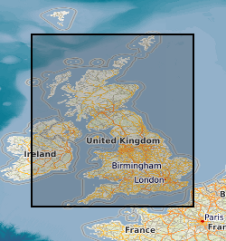
This layer of the map based index (GeoIndex) shows the location of earthquakes within the UK. The historical catalogue has been compiled, in general, from macroseismic observations (ie felt effects). Before 1700, only earthquakes with magnitudes of 4.0 ML or greater are included. After 1700, all known events with magnitudes of 3.0 ML or greater are included together with some other, smaller ones. Accuracies of magnitude, location, and origin time vary with the quality of information available for this period as they do for instrumental measurements in the post 1970 period. In that case, variations are largely a function of the seismograph station coverage, which has been improving up to the present day.
 NERC Data Catalogue Service